By Olivia Olson, Public Programs & Volunteer Manager
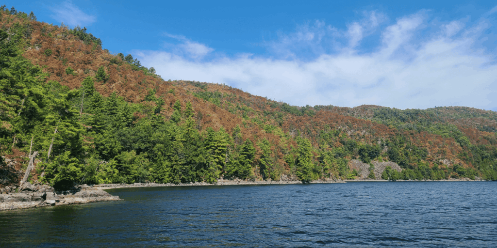
This season, guests have noticed brown and withered leaves on the trees on the New York side of Lake Champlain and have asked the same question: is something wrong with the trees? The answer lies in the lake!
As of October 4, Lake Champlain was at 92.98’ above sea level, 3-6’ below average water level ranges where average annual level is 95.5-96.5’. Water levels in Lake Champlain are dependent on precipitation, surface evaporation, and outflow into the Richelieu River.
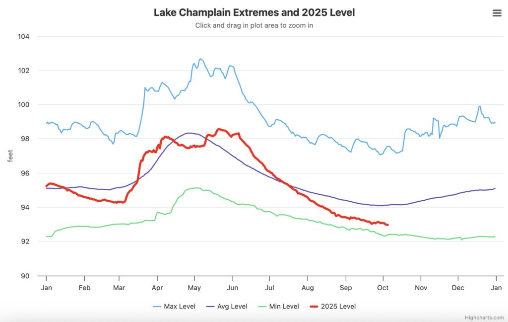
So, why do things look a little different this fall? The Lake Champlain Basin, which spans both New York and Vermont has been experiencing severe to extreme drought this summer, according to the US Drought Monitor. In severe drought conditions, crops yields decline, water shortages are common. And while the lake is still above the record low water level of 1908 (92.4’), low water levels can stress fish and other organisms and raise the water temperature, which potentially lead to harmful algal blooms and beach closures.
But back to the original question: why do the trees on the New York side look so much worse than those on the Vermont side? Our conjecture at the Museum goes back to how the Lake Champlain Basin was formed. The Adirondack Mountains, which borders Lake Champlain to the west, were formed 20 million years ago when the Champlain Thrust Fault closed the Champlain Sea and created Lake Vermont. Fast forward 20,000 years ago when during the last Ice Age the Laurentide Ice Sheet covered the Northeastern United States. The weight of the mile-high glacier compressed the Earth’s crust and sheared away soft rock as it melted and retreated.
The geological and glacial activities of the past have led to stark ecological differences that characterize the western and eastern sides of the lake. The Adirondack Mountains, though wooded, can only support tree species with shallow root systems such as spruce, hemlock, and birch. Shallow soils and subsequent root systems allow water to run off the steep sides of the mountain cliff faces, such as the Palisades, especially when these soils are very dry and non-absorbative. On the Vermont side of the lake, where soil is deep and supports agriculture as well as deep-rooted trees, the leaves didn’t turn as noticeably brown.
These ecological differences translated to economic differences over time. The young mountains on the New York side yielded quarried stone and iron ore, while timber and agricultural products dominated Vermont’s economy in the low, nutrient-rich valleys. This leads us back to the ships which transported these exports and the shipwrecks that we teach our guests about on the water.
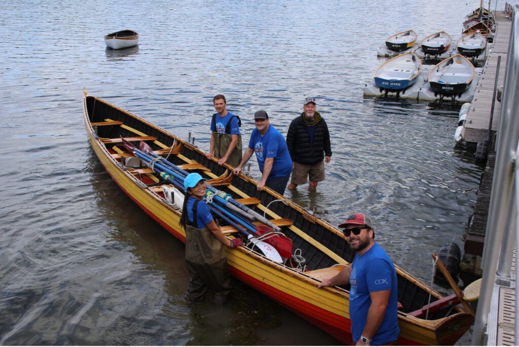
Back at the Museum, guests notice another telltale sign of drought: white and grey stripes above the waterline, mud flats exposed at the Museum’s waterfront. With the help of volunteers, we moved boats out of the mud and marked hazards such as anchors and rocks in our harbor to avoid boat damage. For our fall field trips, we stacked the canoes we use to take lake water samples on the mud flats without the risk of them floating away.
So, when you come to the Museum this fall, see what you notice about the lake. How far is the water from the shoreline? Is the mud wet or dry? What do the trees and gardens look like? Is the water warm or cold?
Thanks! Great read and timely!